
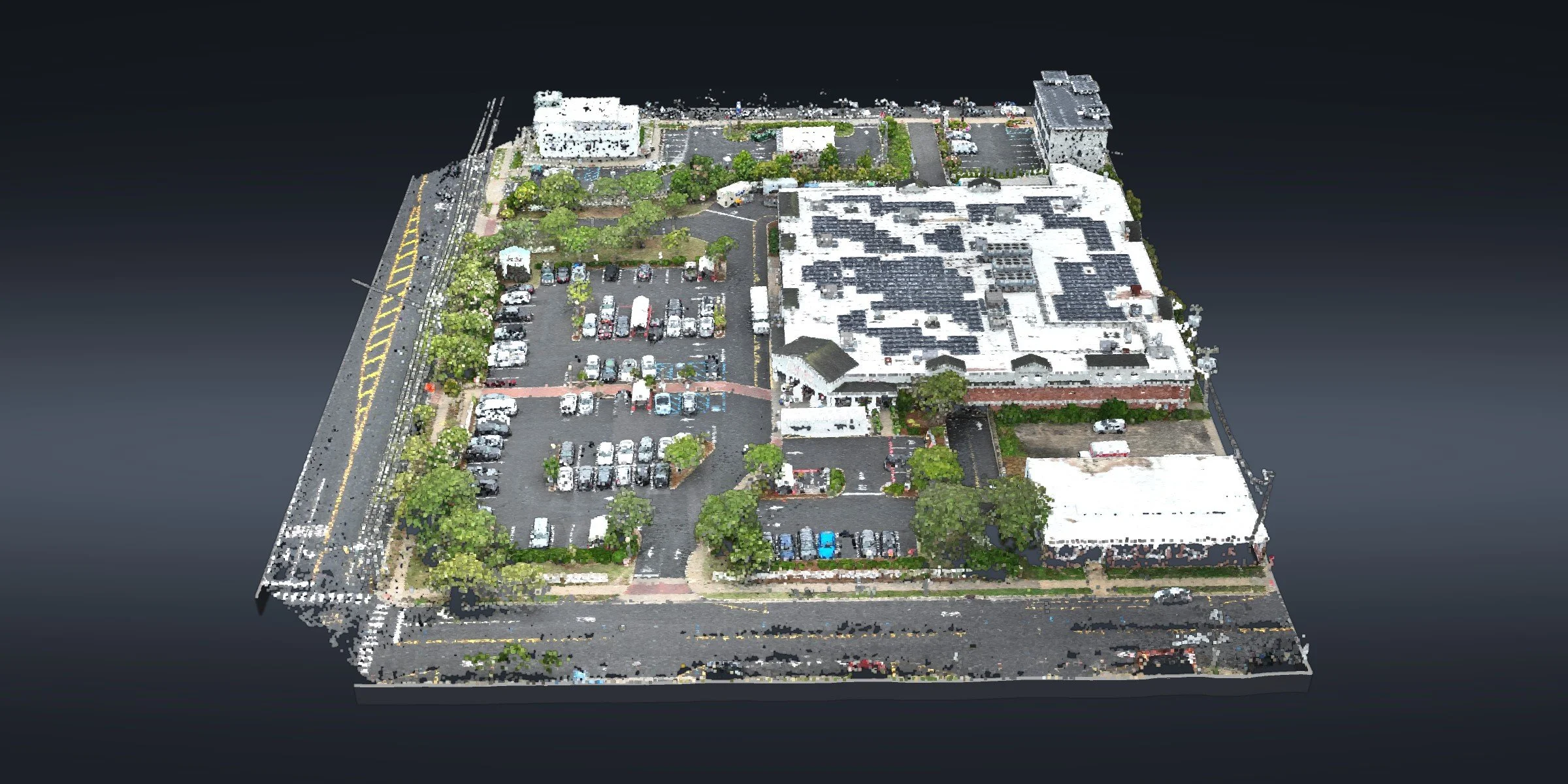
COMMERCIAL SITE · OCEAN CITY, NJ10 Acres Between Moving Cars, Ocean City
Mapping a parking lot sounds simple until it's full of moving cars. We mapped this one from the air, in a single flight.
10 acres captured · 9 control points · 54 million points · CAD linework
The site
This commercial lot in Ocean City stays busy all day. On the ground, every curb shot meant a crew standing in a drive aisle, with cars, carts and people moving around them.
What we did
Our FAA Part 107 certified pilot covered 10 acres in one flight, tied to 9 control points the surveyor set in NJ State Plane. The flight produced a point cloud of 54 million points and an orthomosaic of the whole lot.
Nothing went into CAD until the point cloud was checked against the surveyor's control. Then we drafted every curb, stripe and crosswalk as its own line, with top and bottom of curb elevations and 3D breaklines, ready for the surveyor's own checks.
At a glance
Location: Ocean City, Cape May County, NJ
Site: commercial parking lot
Captured: 10 acres in one flight
Control: 9 points set by the surveyor, NJ State Plane
Data: 54 million-point cloud and orthomosaic
Drafting: curbs, striping, crosswalks, top and bottom of curb, 3D breaklines
Mapping and drafting in support of a licensed surveyor.
Have a busy site your crew would rather not stand in? Send us the site →
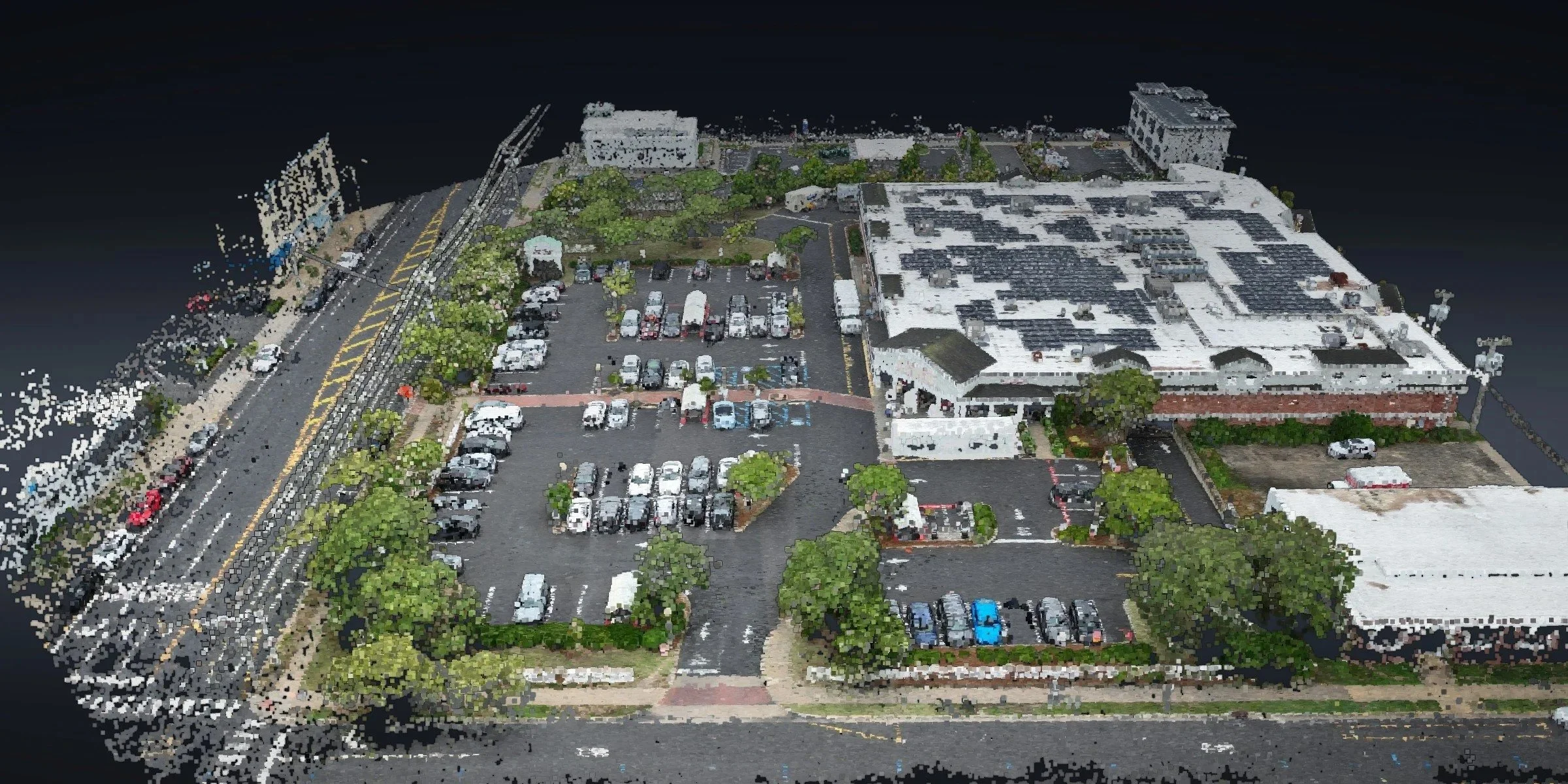
The whole lot in true color, straight from the point cloud
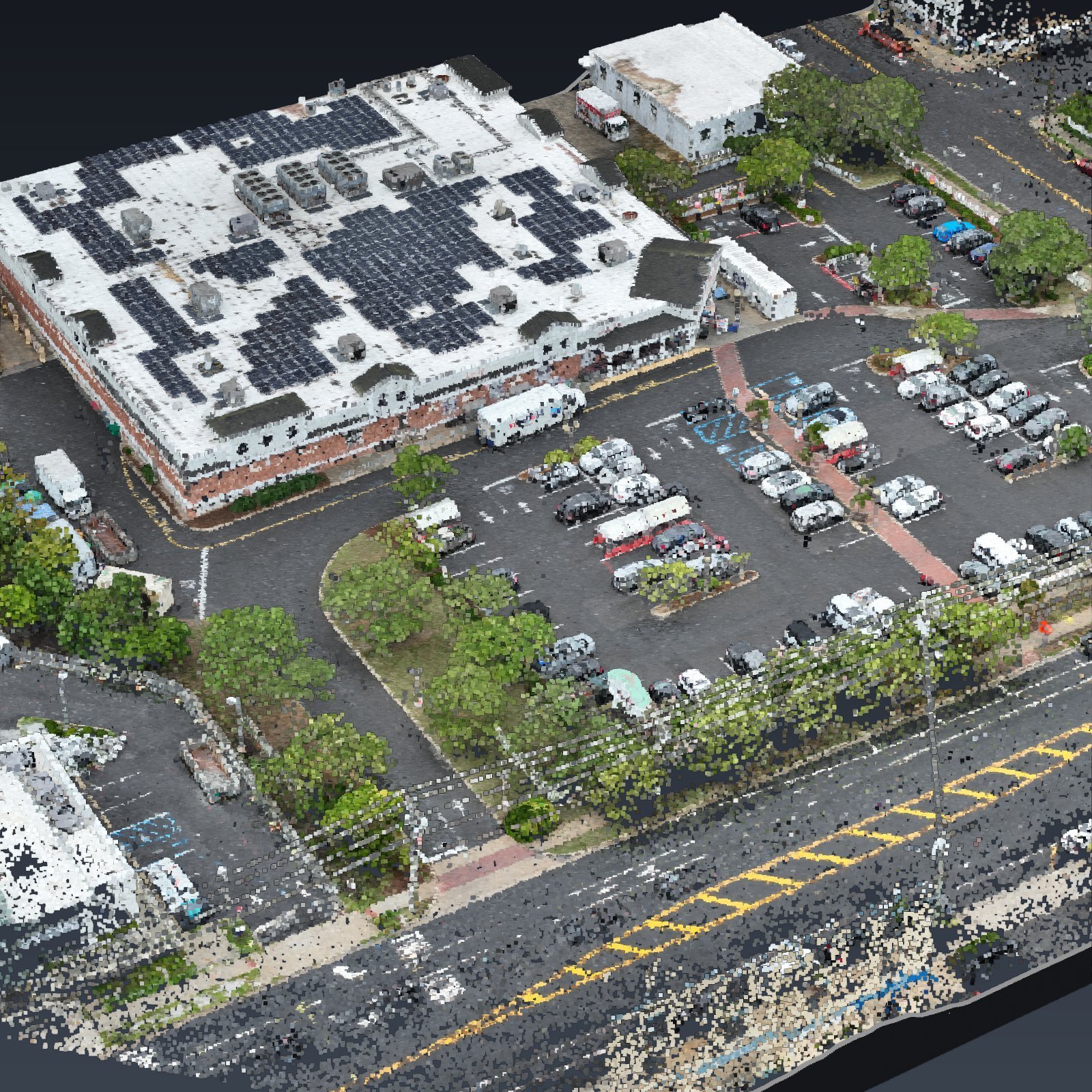
The lot in 3D, rebuilt from the point cloud of that one flight
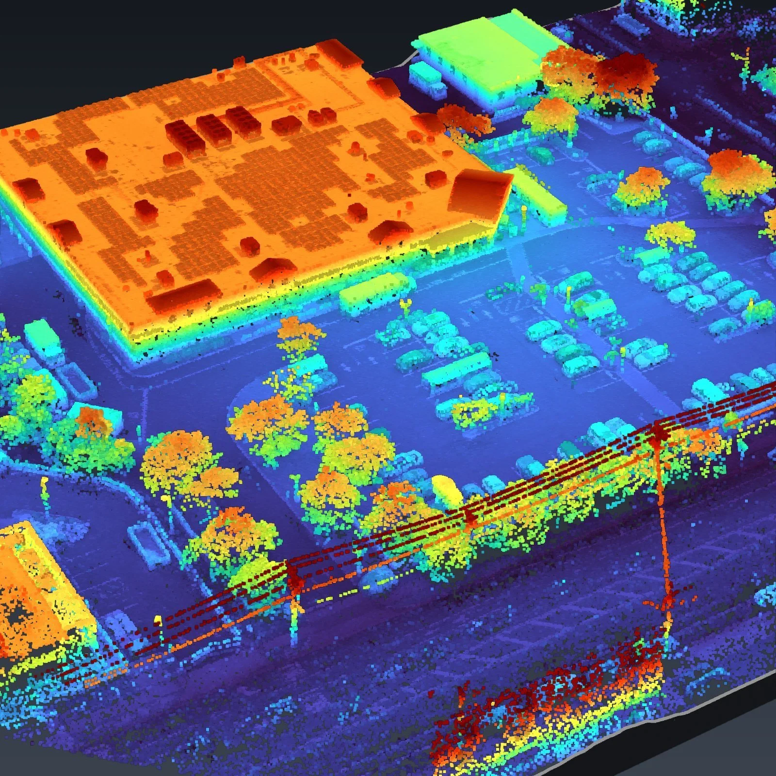
The same 3D model colored by height: roofs, trees and poles rise off the pavement
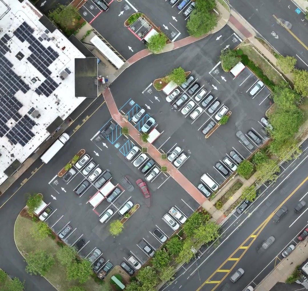
The lot from the air: busy aisles, curbs and striping
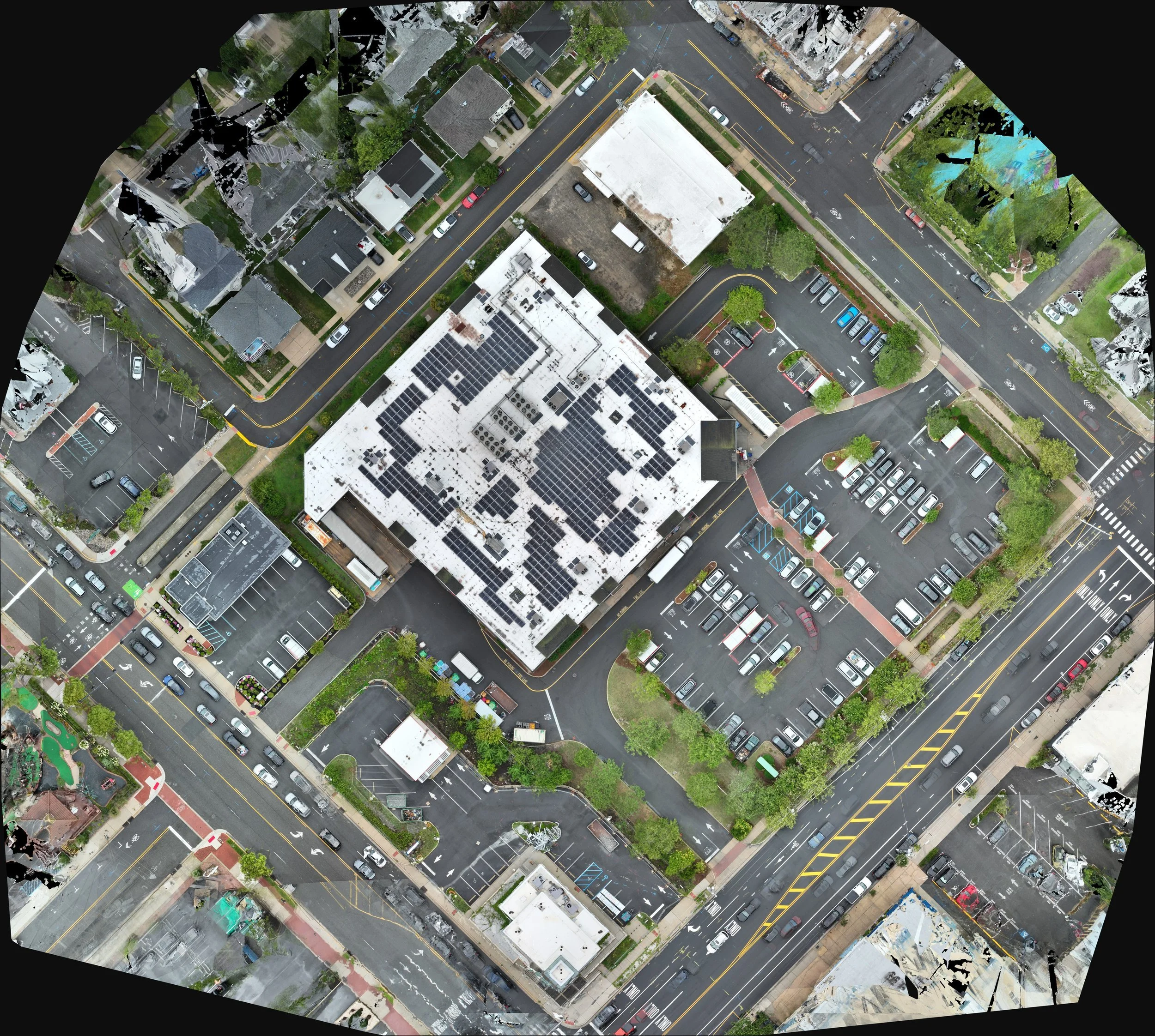
The whole lot in one orthomosaic, from a single flight
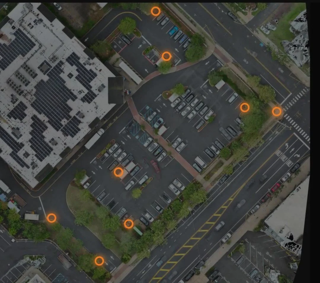
The 9 control points the surveyor set, marked in orange
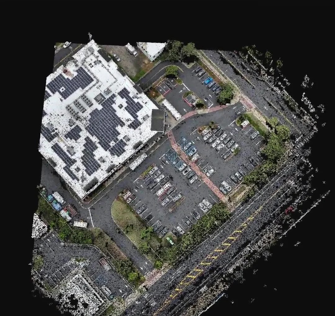
The 54 million-point cloud, checked against that control
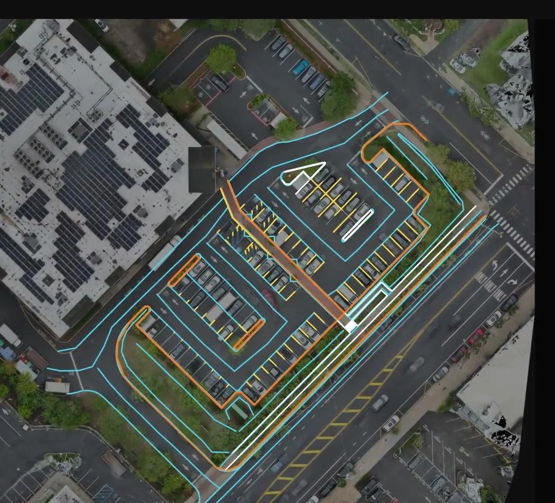
Curbs, striping and crosswalks drafted in CAD, each on its own line