NEW JERSEY · DRONE MAPPING · CAD DRAFTING
Drone Data Capture and CAD Drafting for Licensed Surveyors and Engineers
We fly the site and draft it to your template. Point clouds, orthomosaics, 3D models and clean CAD linework, ready for your licensed professional to review and seal.
WHAT WE DO
From one flight to clean CAD linework
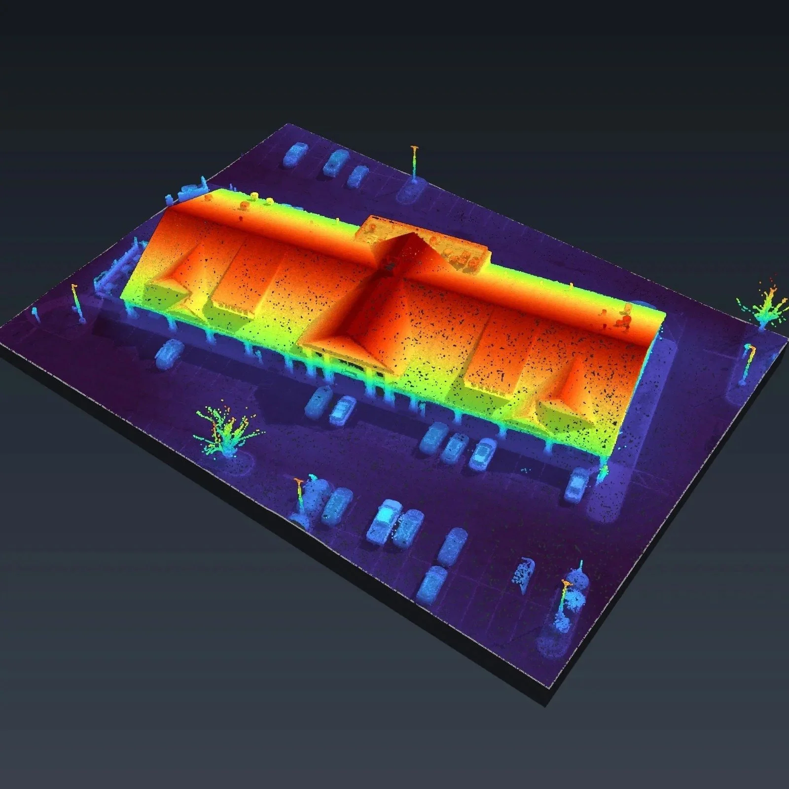
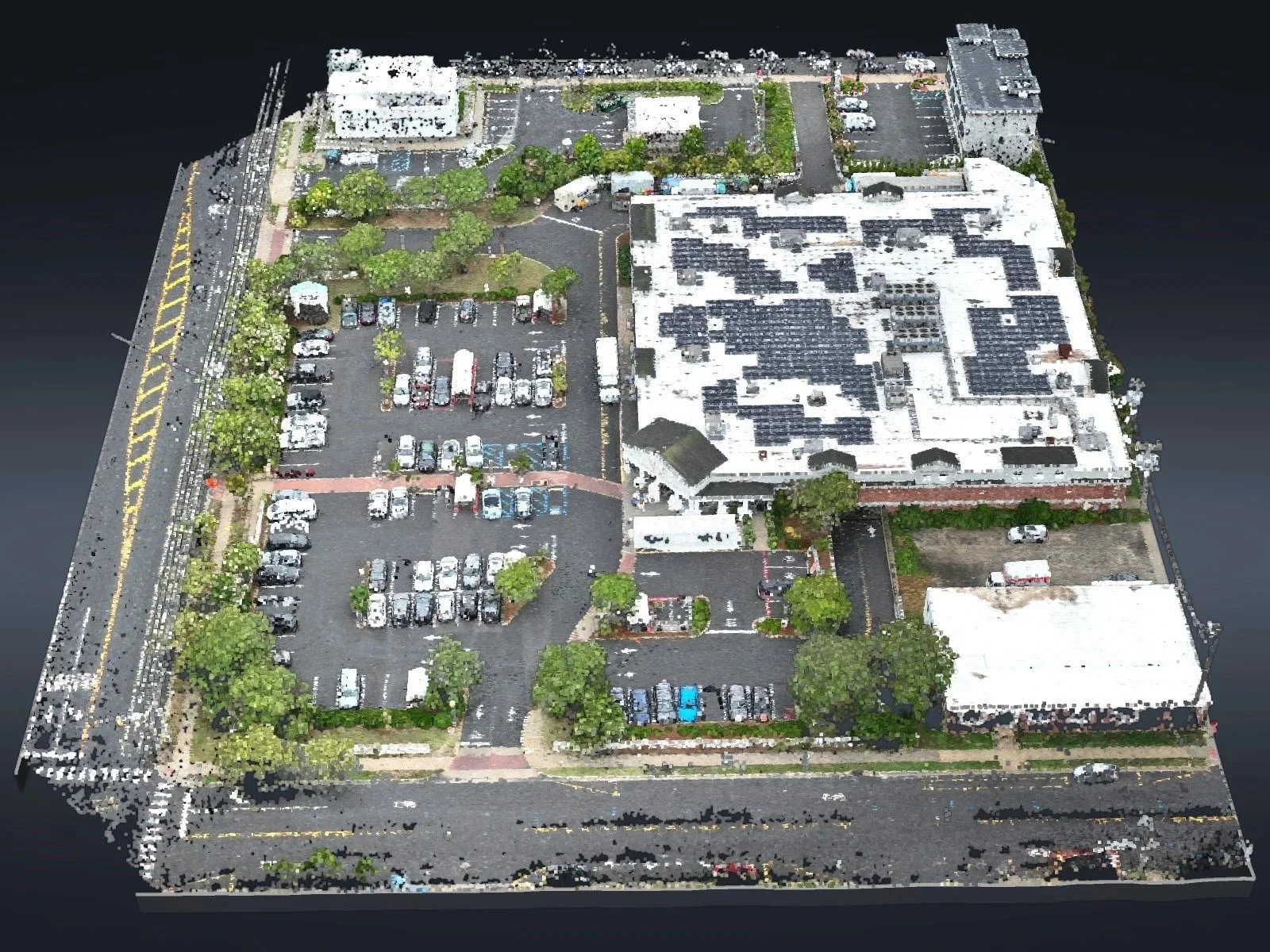
POINT CLOUDS · ORTHOMOSAICS · 3D MODELS
Drone Mapping
The whole site from the air, tied to the control your surveyor sets. Parking lots, commercial sites, stockpile yards, streets, waterfront lots and steep wooded slopes.
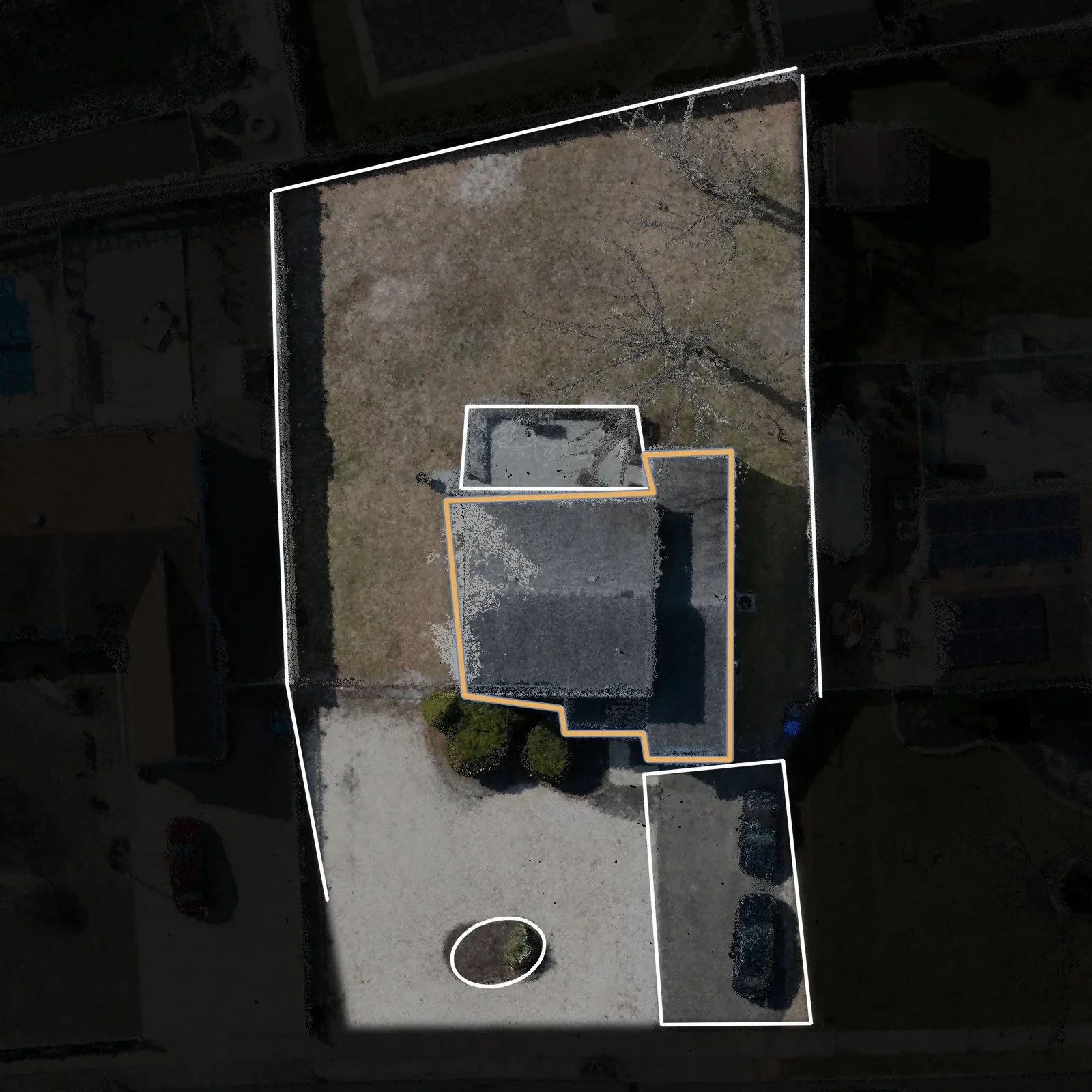
SITE FEATURES · EXISTING CONDITIONS · BUILDINGS
CAD Drafting
Clean linework in your layers and your title block, drafted from drone data. Curbs, pavement, buildings and fences, plus exterior elevations and floor plans.
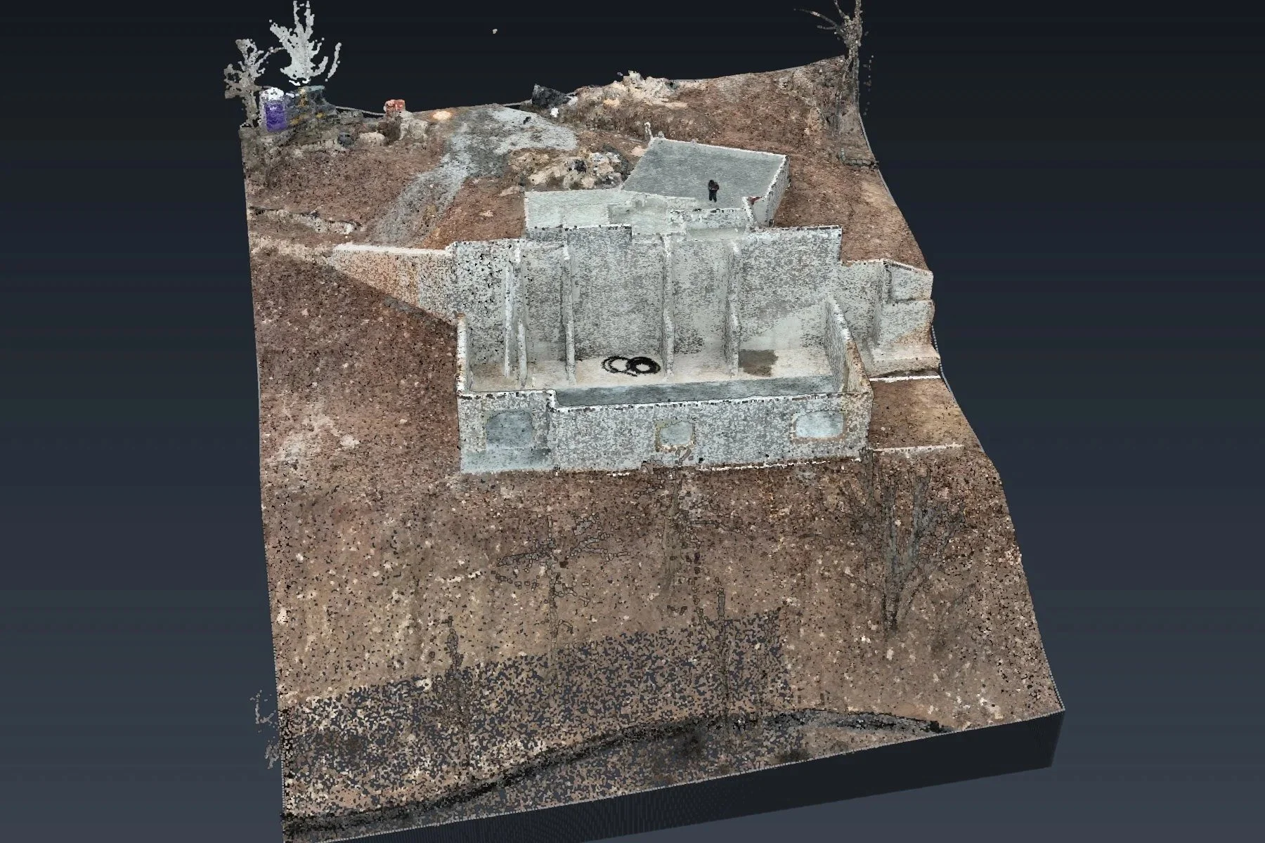
WEEKLY · EVERY TWO WEEKS · MONTHLY
Construction Progress Photos
Aerial photos and video of your jobsite on a set schedule, taken from the same spots every visit, so the whole team can see progress from above.
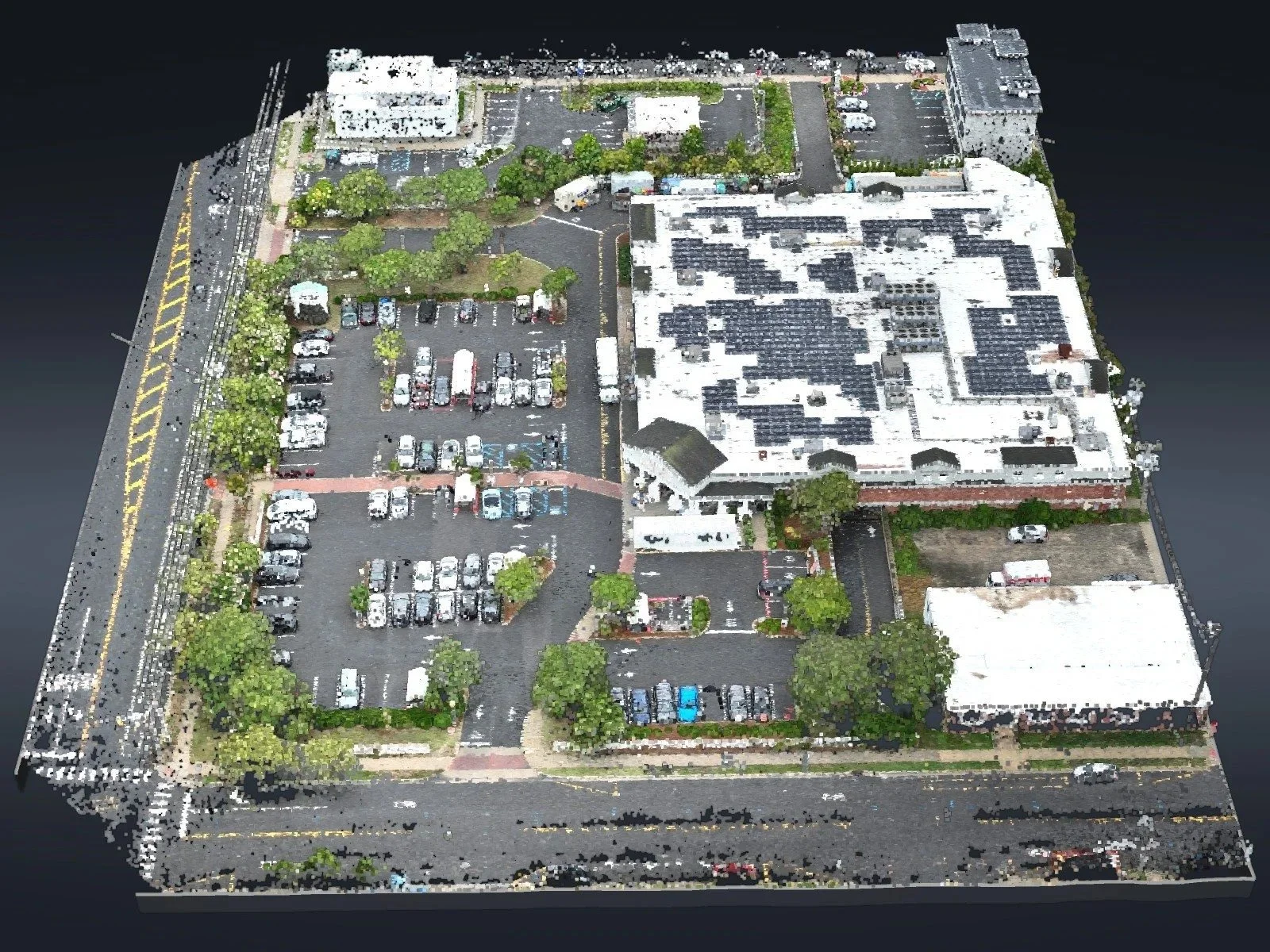
COMMERCIAL LOT · OCEAN CITY
10 Acres Between Moving Cars, Ocean City
A full commercial lot mapped in one flight while the cars kept moving, then drafted in CAD.
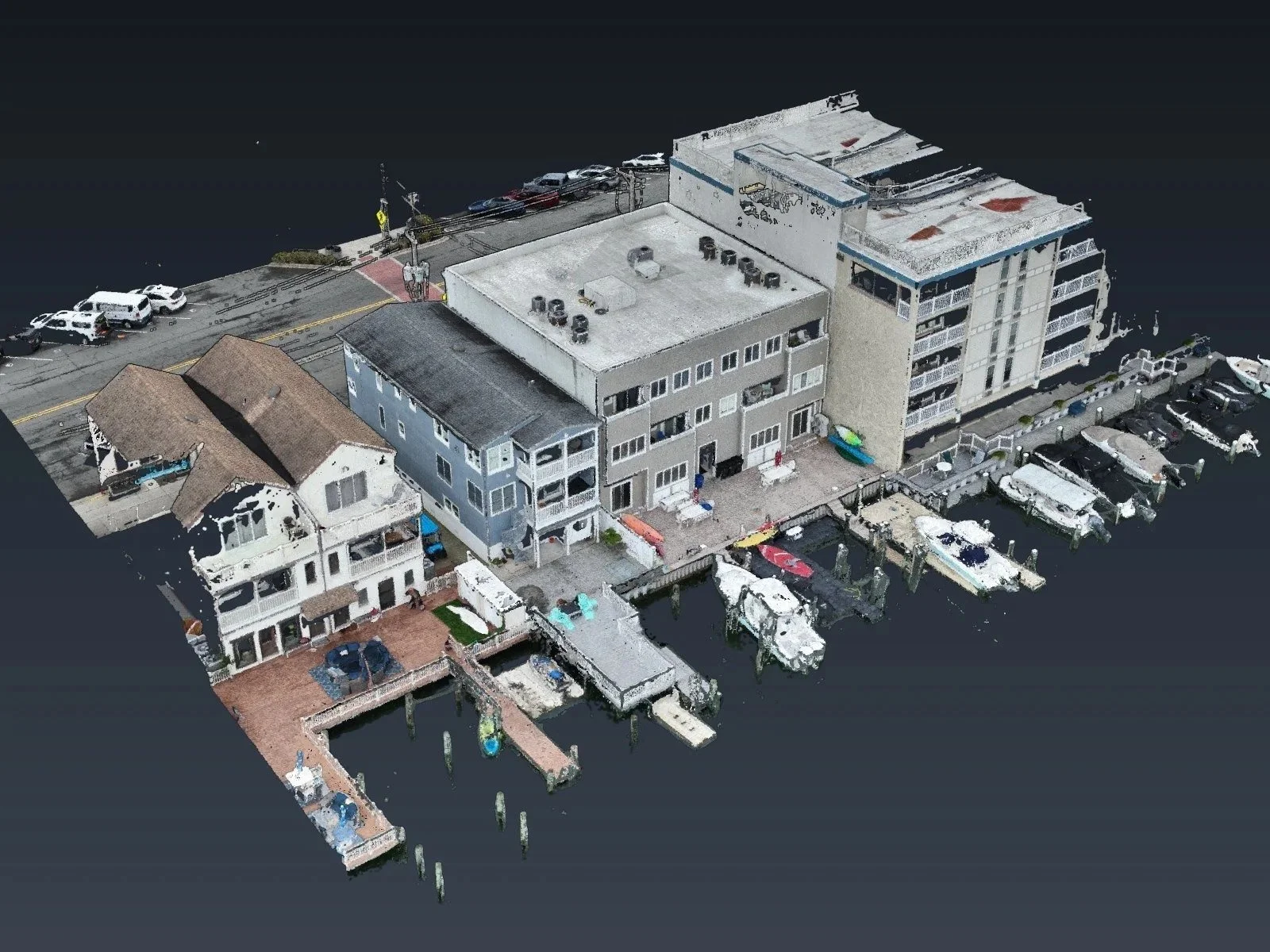
WATERFRONT LOT · STONE HARBOR
The Bulkhead Hiding Under the Deck, Stone Harbor
A tight lagoon lot with a deck, a bulkhead, piers and a floating dock, mapped from the air.
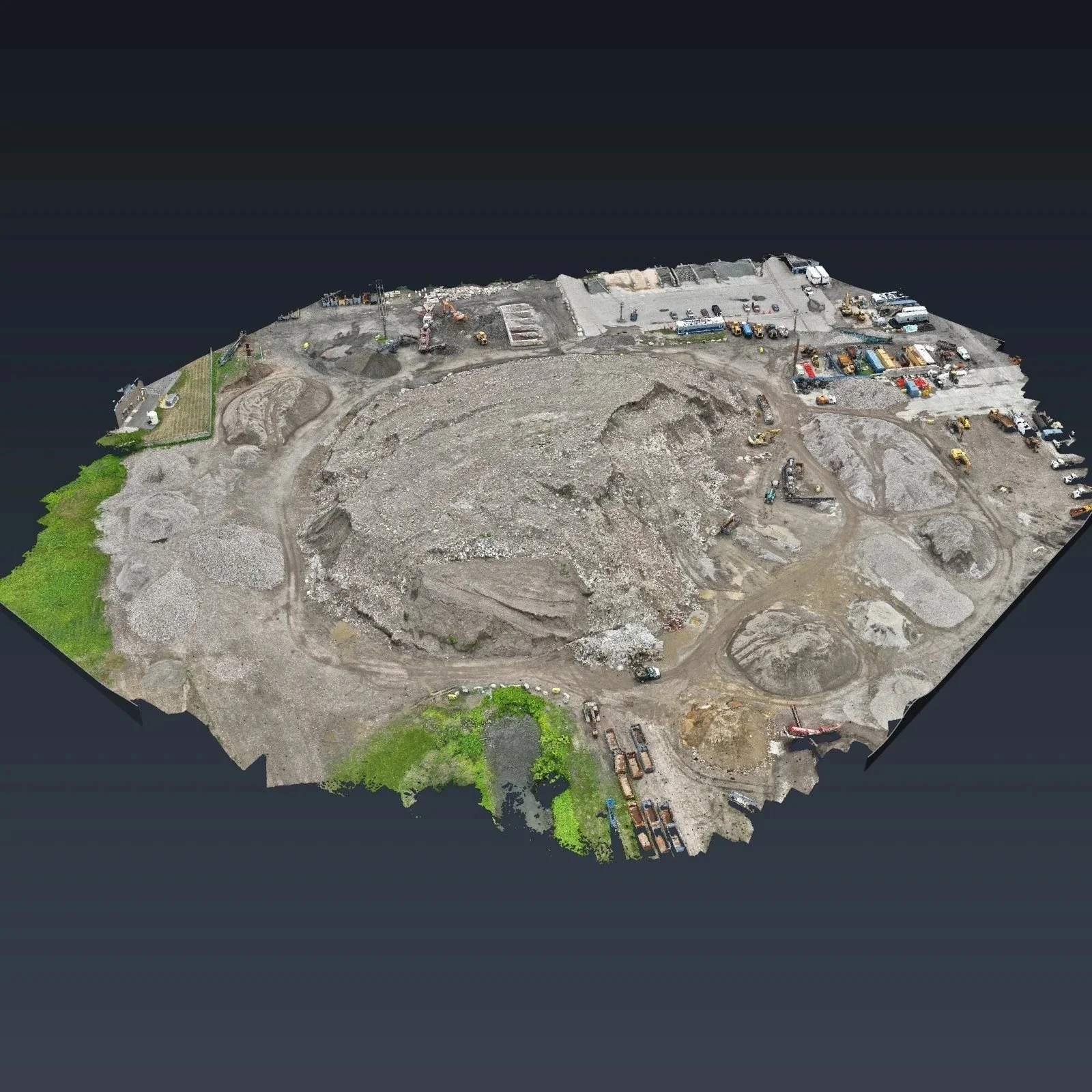
STOCKPILE YARD · CAMDEN
A 56-Foot Stockpile and 17 More, Camden
A yard of 18 piles mapped in one flight, with a surface the surveyor can run volumes from.
HOW A JOB WORKS
One flight, one dataset, drafted to your template
We capture site data from the air and draft it in CAD for licensed land surveyors, civil engineers and architects across New Jersey and New York City.
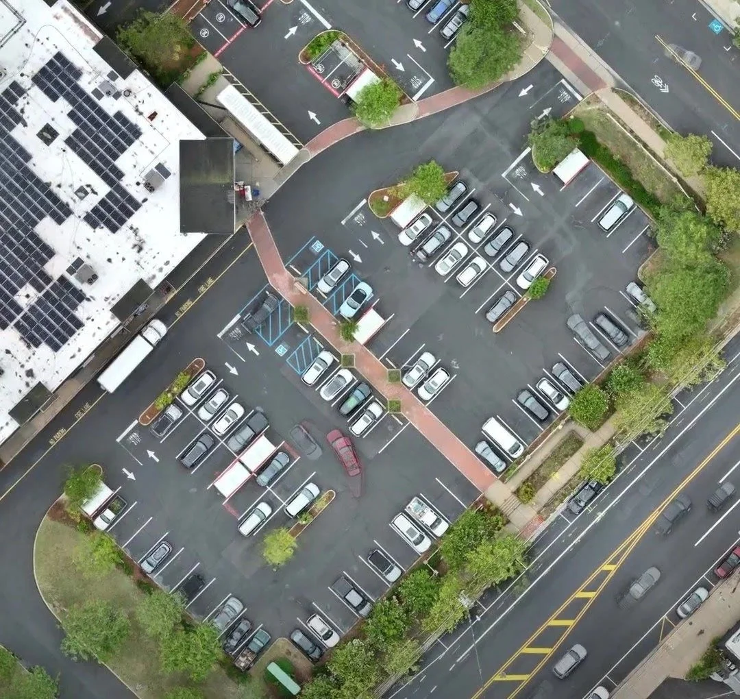
STEP 1
Send us the site
The town, the rough size, what you need and when you need it. We tell you if it works from the air and where your crew should add points.
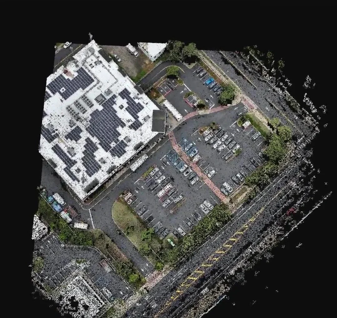
STEP 2
We fly it, tied to your control
Our FAA Part 107 certified pilot captures the site, tied to the control your surveyor sets. Many sites take a single flight.
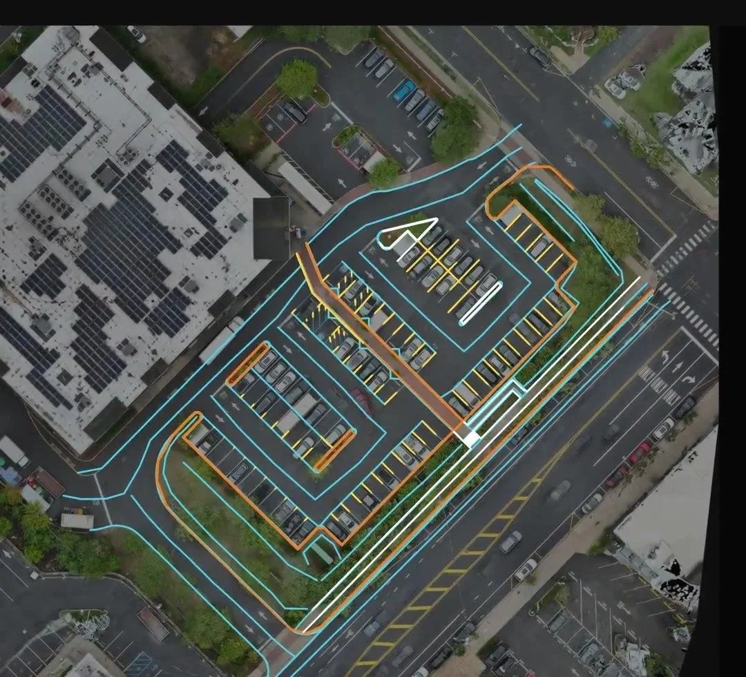
STEP 3
We draft it. You check it and seal it.
We draft to your layers and your title block. Your licensed professional reviews the work and keeps responsible charge and the seal.

GET A QUOTE
Send us the site
We reply within one business day.
Who We Are
Innovize Solutions Consulting captures site data from the air and drafts it in CAD for licensed land surveyors, civil engineers and architects across New Jersey and New York City. Our FAA Part 107 certified pilot flies the site, tied to the control your surveyor sets. Your licensed professional keeps responsible charge and the seal. Innovize is not a land surveying or engineering firm.