
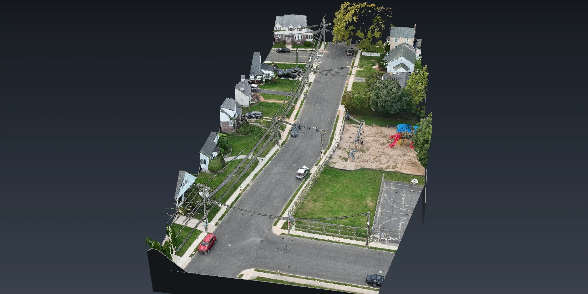
RESIDENTIAL STREET · SOUTH AMBOY, NJFlown Friday, Drafted by Tuesday, South Amboy
A residential block, curb to curb, without a crew standing in traffic. Flown on a Friday, drafted by Tuesday.
Two short flights · Top and bottom of curb · Spot elevations · Drafted in CAD
The site
A street topo usually means a crew working between parked cars and traffic. On this block in South Amboy, we flew it instead.
What we did
Our FAA Part 107 certified pilot mapped the block in two short flights and built a point cloud of the whole street, curb to curb.
From the point cloud we drafted a topographic existing conditions plan in CAD, with top and bottom of curb and spot elevations along the street. Flown on a Friday, drafted by Tuesday.
At a glance
Location: South Amboy, Middlesex County, NJ
Site: residential street
Captured: two short flights
Drafting: top and bottom of curb, spot elevations, existing conditions plan in CAD
Turnaround: flown on a Friday, drafted by Tuesday
Mapping and drafting in support of a licensed surveyor.
Have a street or corridor to map? Send us the site →
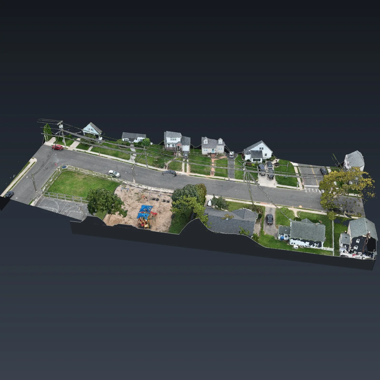
The block in 3D, curb to curb, from two short flights
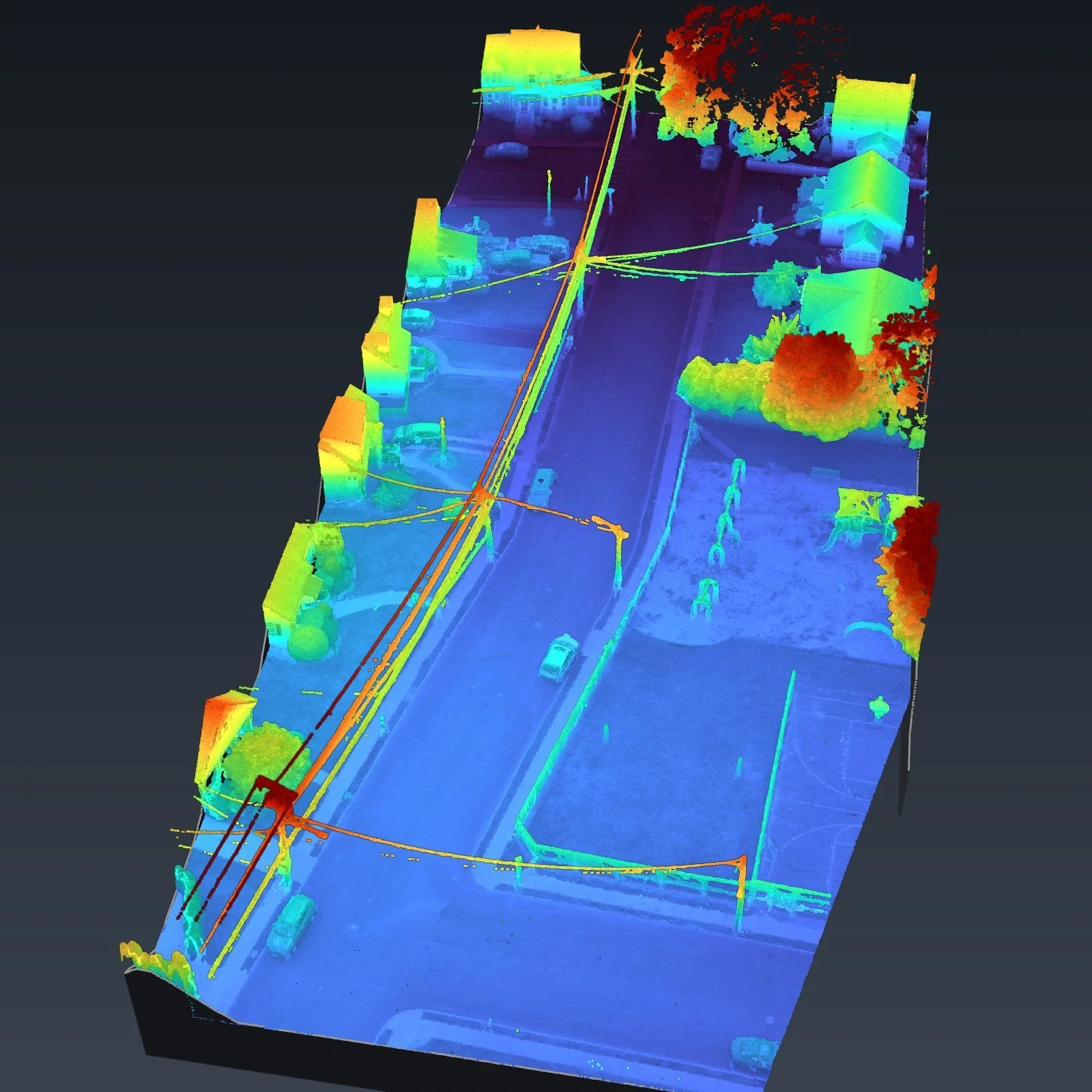
Colored by height: curbs, houses, trees and the wires overhead
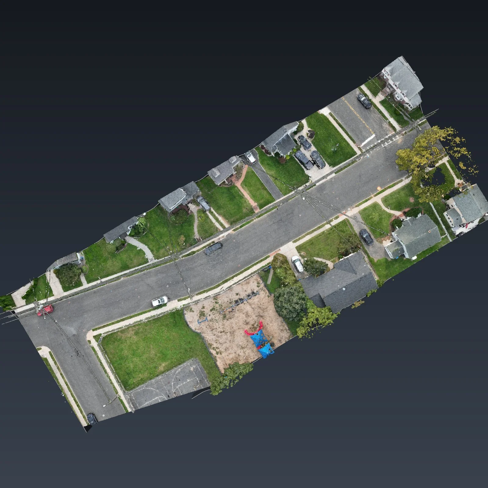
Straight down: both curbs and the whole street in one view