
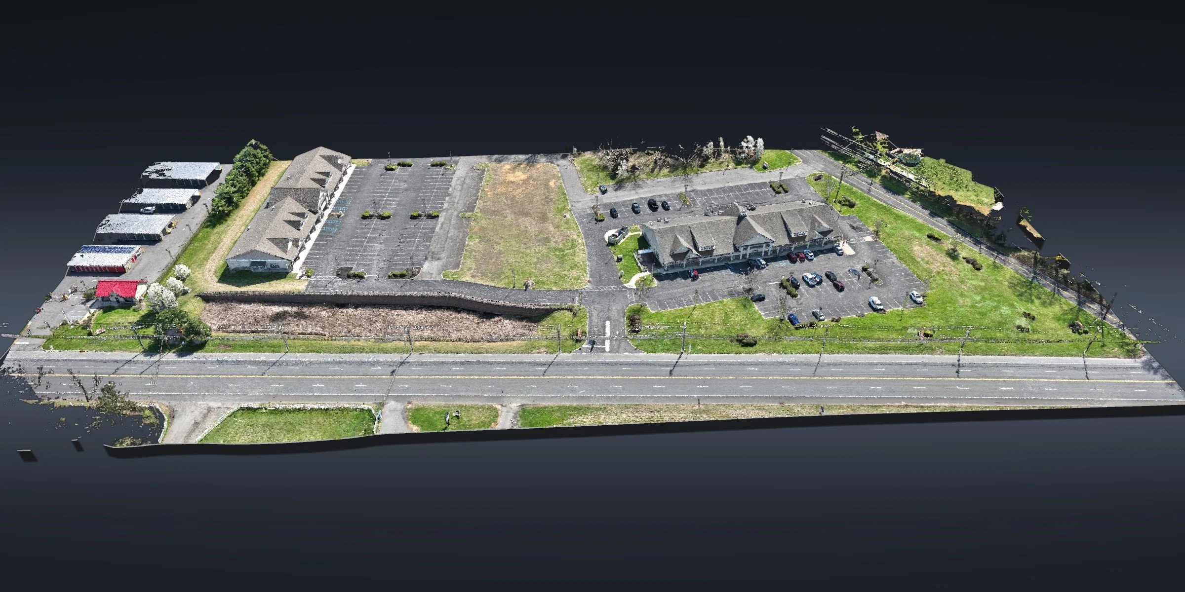
COMMERCIAL SITE · BORDENTOWN, NJA Whole Property in One Dataset, Bordentown
An existing commercial property with buildings, parking and open ground, captured from the air in one dataset.
Orthomosaic · 3D point cloud · Site features in CAD
The site
An existing commercial property in Bordentown: two buildings, their parking areas, landscaping and open ground along a long road frontage.
What we did
Our FAA Part 107 certified pilot flew the whole property at low altitude and captured overlapping imagery across the site. From it we built a dense 3D point cloud and a high-resolution orthomosaic.
From the point cloud and the ortho, we drafted the site features in CAD: building footprints, parking areas, curbs and the other features on the property.
At a glance
Location: Bordentown, Burlington County, NJ
Site: existing commercial property
Data: 3D point cloud and orthomosaic with sub-half-inch pixels
Drafting: site features in CAD
Mapping and drafting in support of licensed professionals.
Have an existing site to capture? Send us the site →
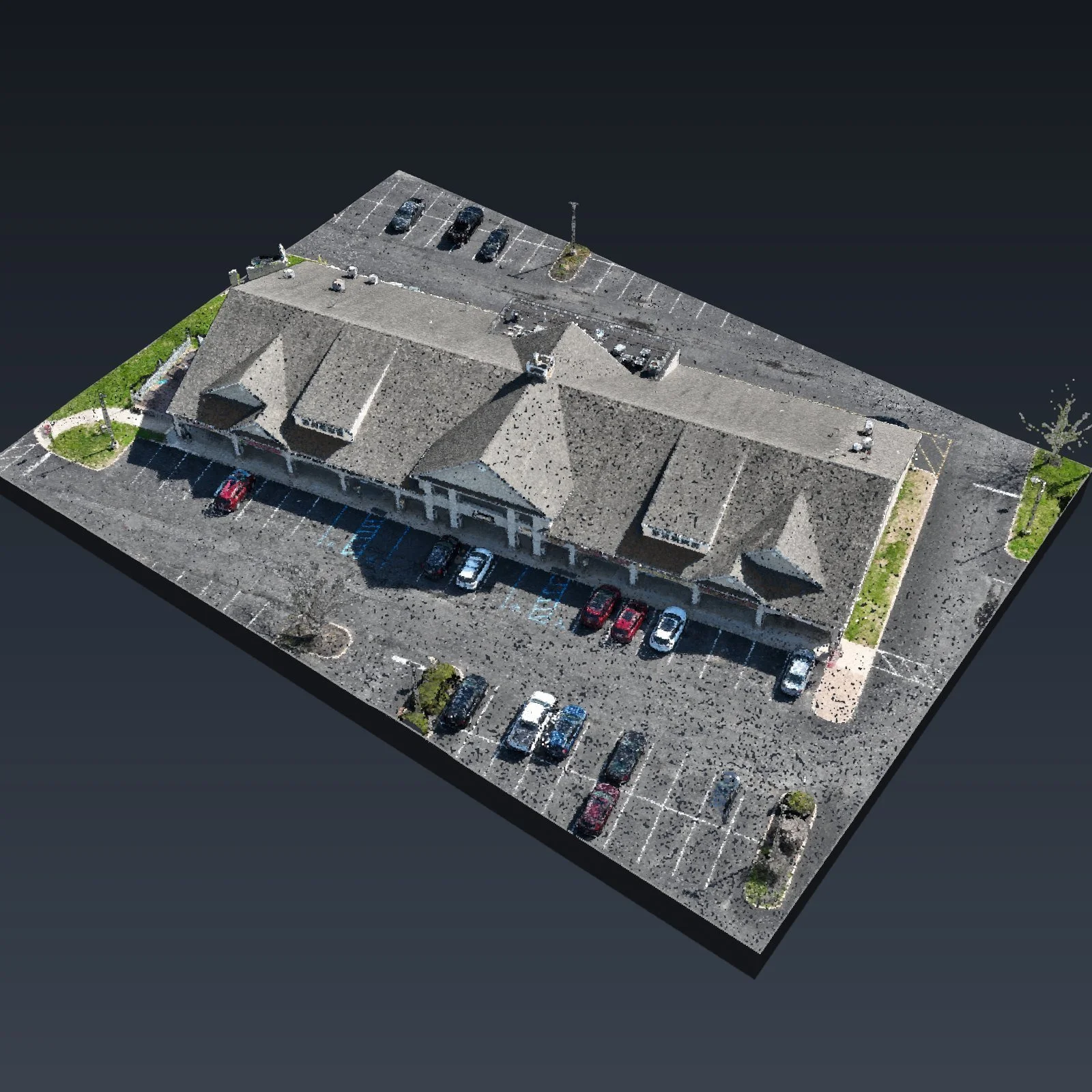
South building and its parking in 3D, rebuilt from the point cloud
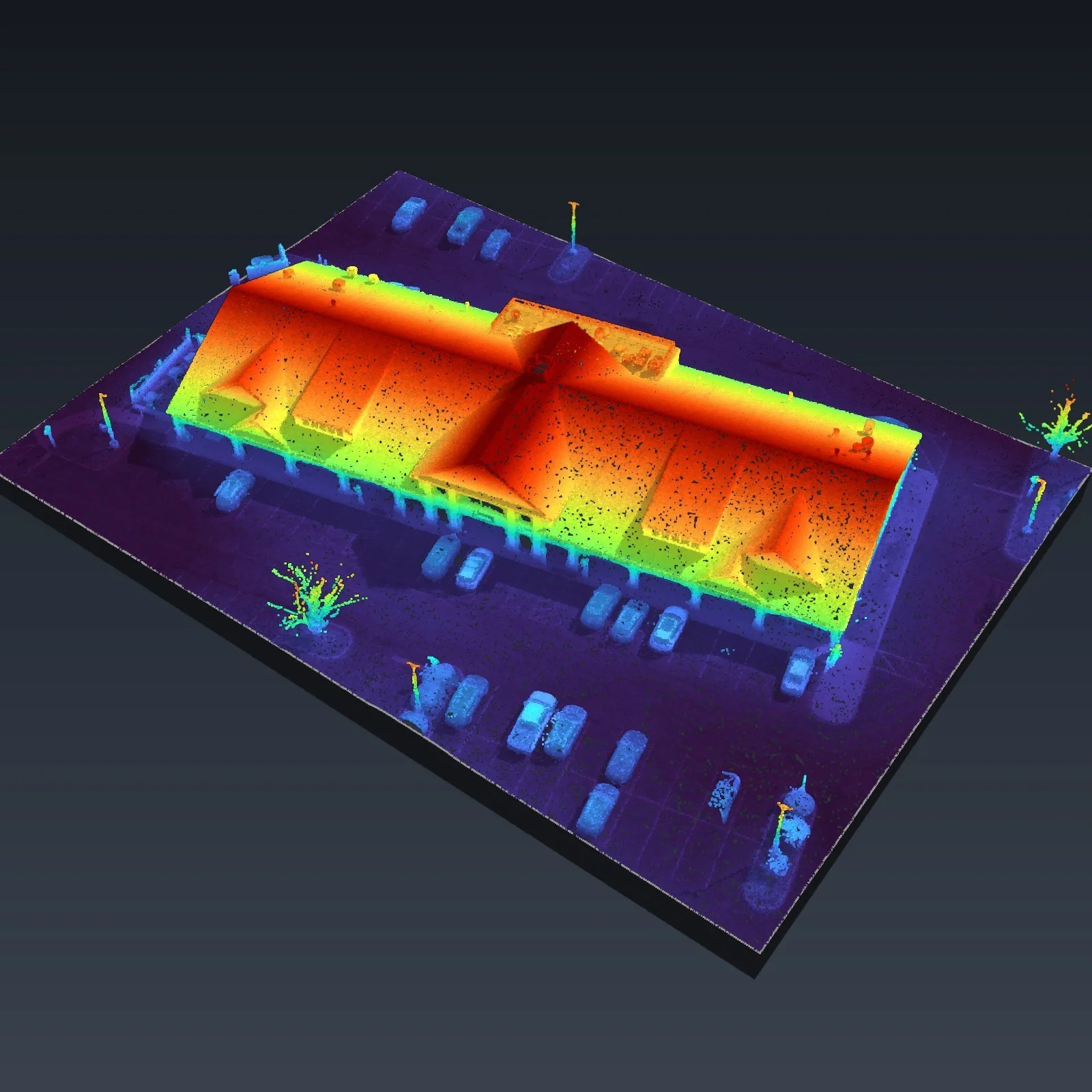
The same model colored by height: roofline, curbs and light poles
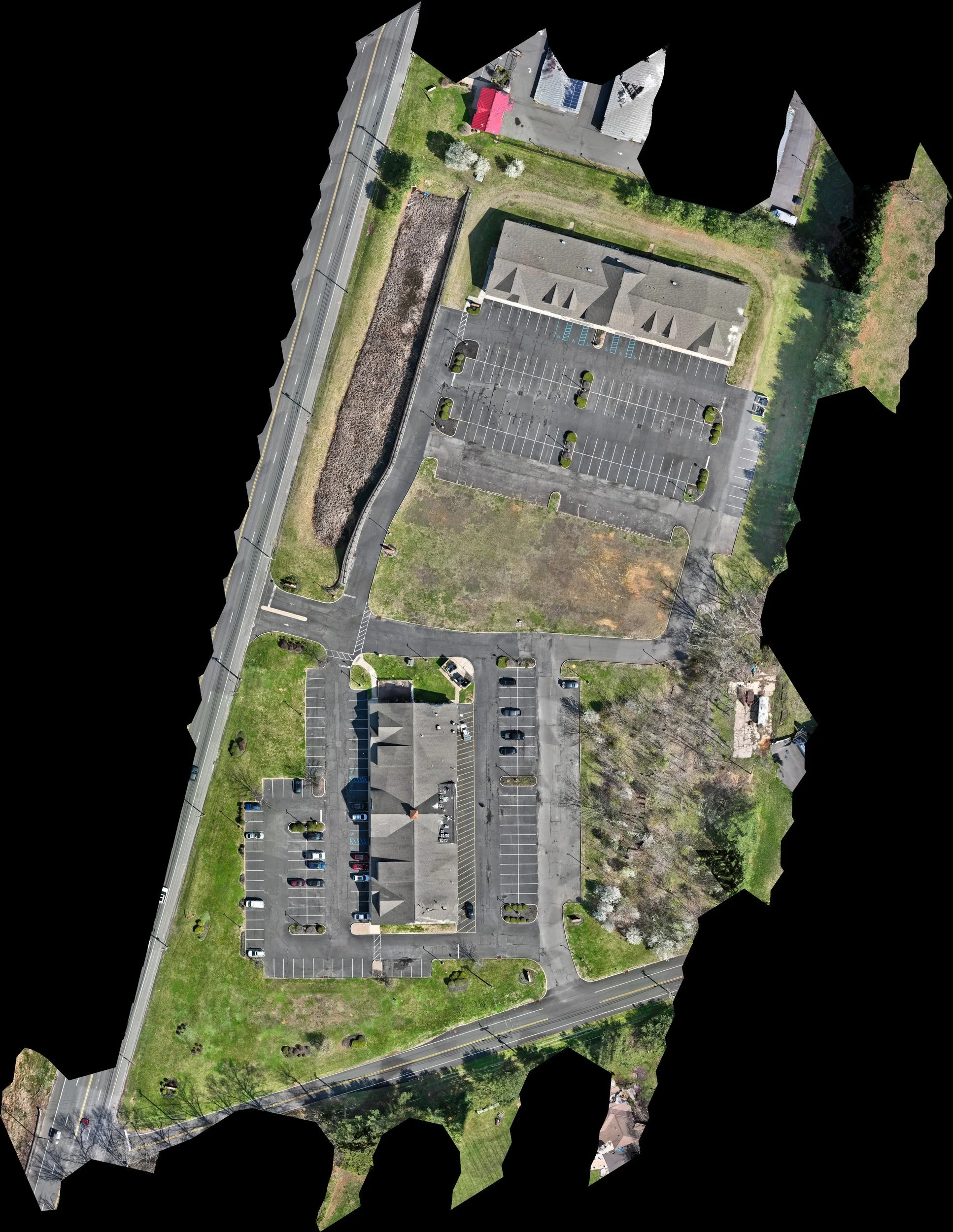
The whole property in one orthomosaic
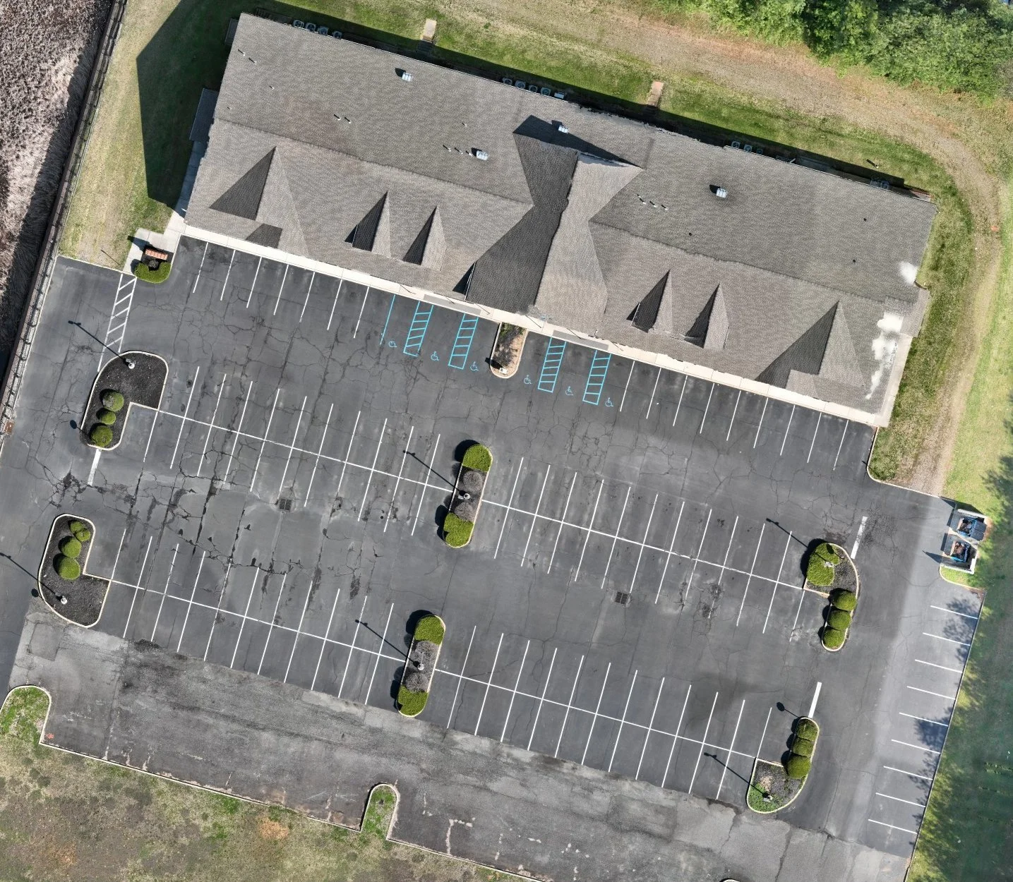
North building and its parking, close up
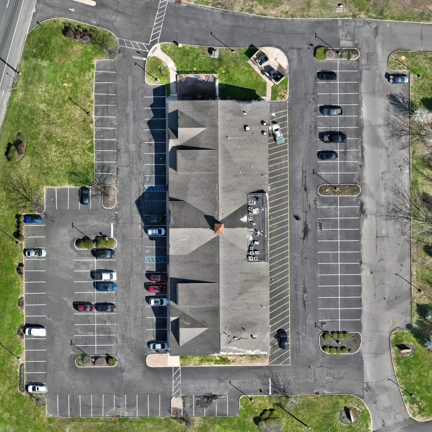
South building, parking, curbs and landscaping