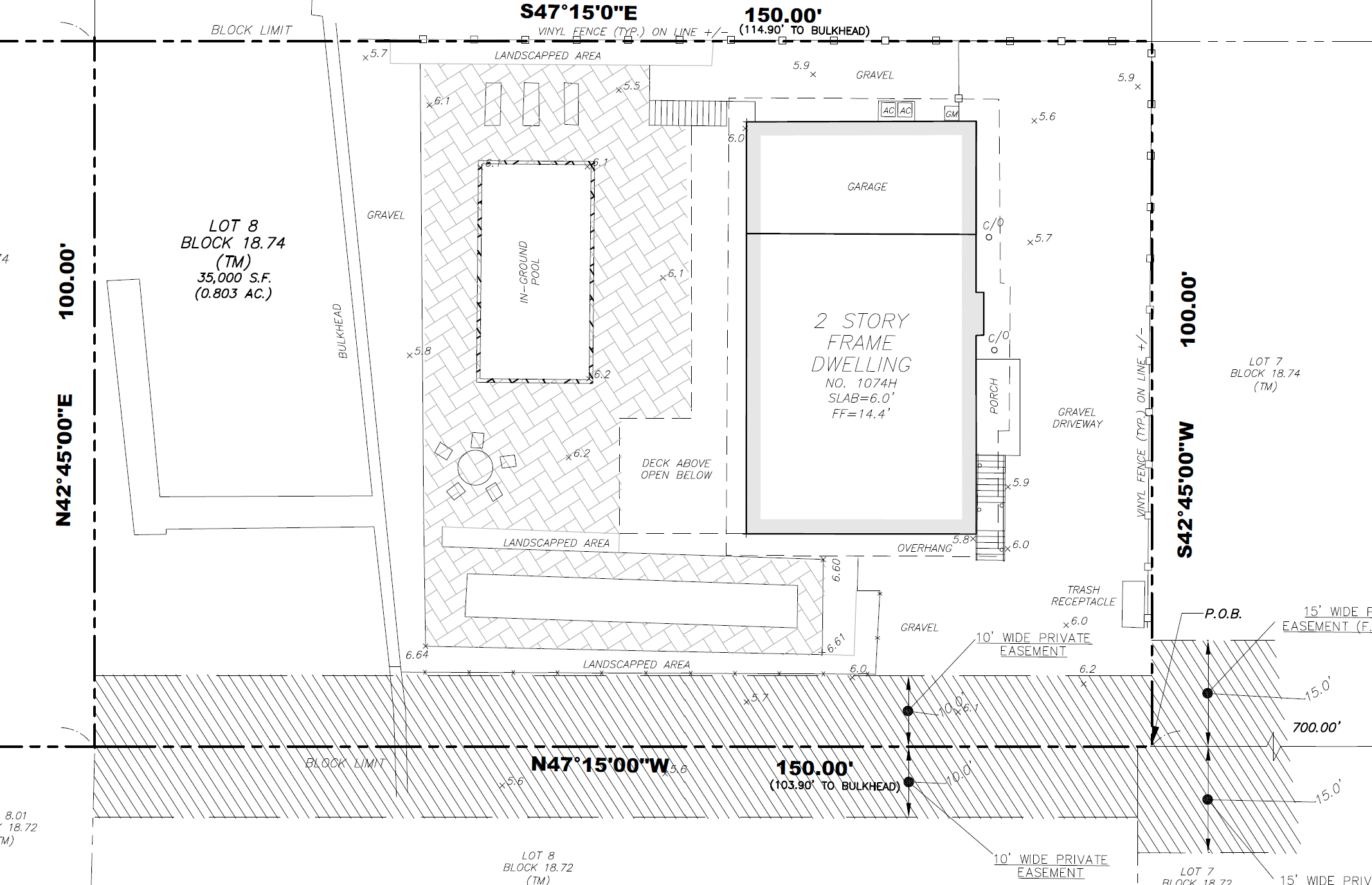
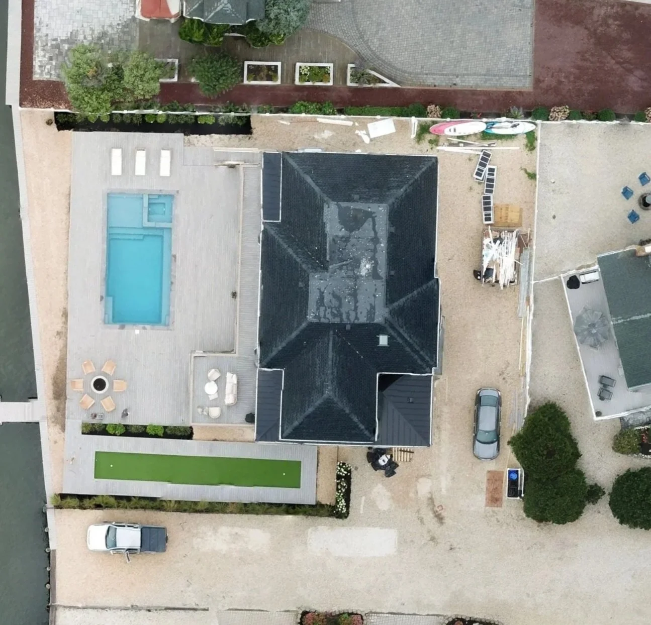
An as-built survey captures the final, constructed conditions of a site showing exactly what was built, where, and how it differs from design plans.
It’s often required to close permits, obtain a Certificate of Occupancy, or satisfy municipal or lender requirements. Our as-builts include Civil 3D DWGs, labeled PDFs, and high-resolution orthomosaics, all tied to accurate site control.
Whether it’s for closeout, compliance, or documentation, we deliver engineer-ready files that hold up under scrutiny.
Full 3D As-Built Survey
Bordentown, NJ
Client: Dean Kirby | Location: 3242 Route 206, Bordentown, NJ | Service: Full 3D As-Built Survey | Deliverable: 3D point cloud, orthomosaic, DWG as-built | Scope: 887 drone images processed in DJI Terra
Dean Kirby engaged Innovize for a comprehensive 3D as-built of an existing commercial property on Route 206 in Bordentown. The team flew 887 overlapping images processed in DJI Terra to produce a high-resolution orthomosaic and dense 3D point cloud capturing every structural feature of the site. The as-built documentation provided precise measurements of building footprints, parking areas, and site features that the client’s engineer used directly for renovation planning. The deliverable package included georeferenced ortho imagery, a 3D point cloud, and a CAD as-built drawing — all tied to survey-grade ground control for accuracy.