
Client: John Miima | Location: 843 Cooper Landing Rd, Cherry Hill, NJ | Service: Orthomosaic + Digital Surface Model (DSM) | Deliverable: Georeferenced orthomosaic, DSM raster, point cloud
John Miima engaged Innovize to produce a high-resolution orthomosaic and Digital Surface Model (DSM) of his property at 843 Cooper Landing Rd in Cherry Hill, NJ. The deliverable required sub-5 cm horizontal accuracy, achieved through RTK ground control and FAA Part 107-compliant drone operations. Innovize flew the site, processed the imagery into a georeferenced orthomosaic and DSM raster capturing surface elevations, and also produced a dense 3D point cloud for downstream engineering use. The final deliverable package gave the client accurate spatial data for site design, grading analysis, and project documentation — all in industry-standard formats compatible with AutoCAD and GIS platforms.
Orthomosaic + DSM Survey
Cherry Hill, NJ
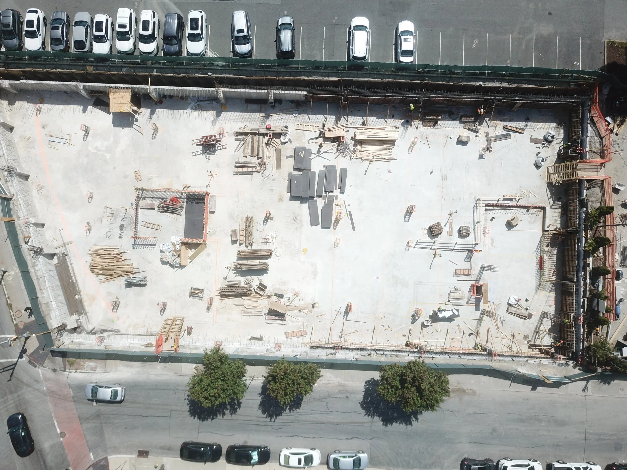
Featured Progress Monitoring — Market St, Newark, NJ
For this 13-story mixed-use development, Innovize provided drone-based construction monitoring throughout excavation and vertical construction.
Our orthomosaics and visual updates helped the GC and owner track progress, communicate with stakeholders, and maintain documentation for compliance.
Captured aerial imagery on a monthly interval
Delivered orthomosaics, photo logs, and before/after overlays
Geo-referenced outputs were shared as PDFs and GeoTIFFs for project records
Enabled the team to visually track excavation, foundation, and slab pours over time
Used for internal reporting, contractor coordination, and visual documentation of key milestone