
INNOVIZE SOLUTIONS CONSULTING
SURVEYING

Innovize Solutions provides precise, field-driven land surveying for engineering, construction, and infrastructure projects. From boundary and topographic surveys to 3D aerial mapping and as-builts, our team delivers accurate data you can build on.
Field-Driven Surveying, Built for Real-World Projects
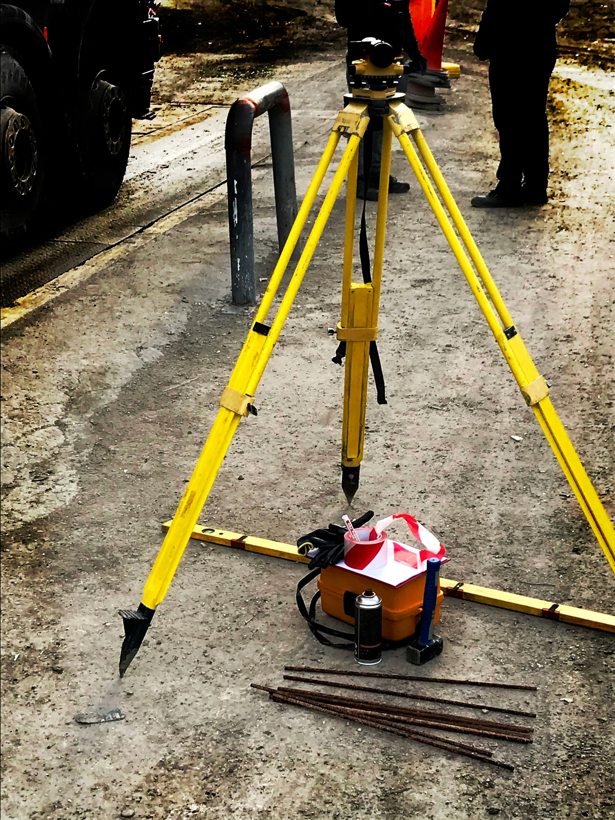
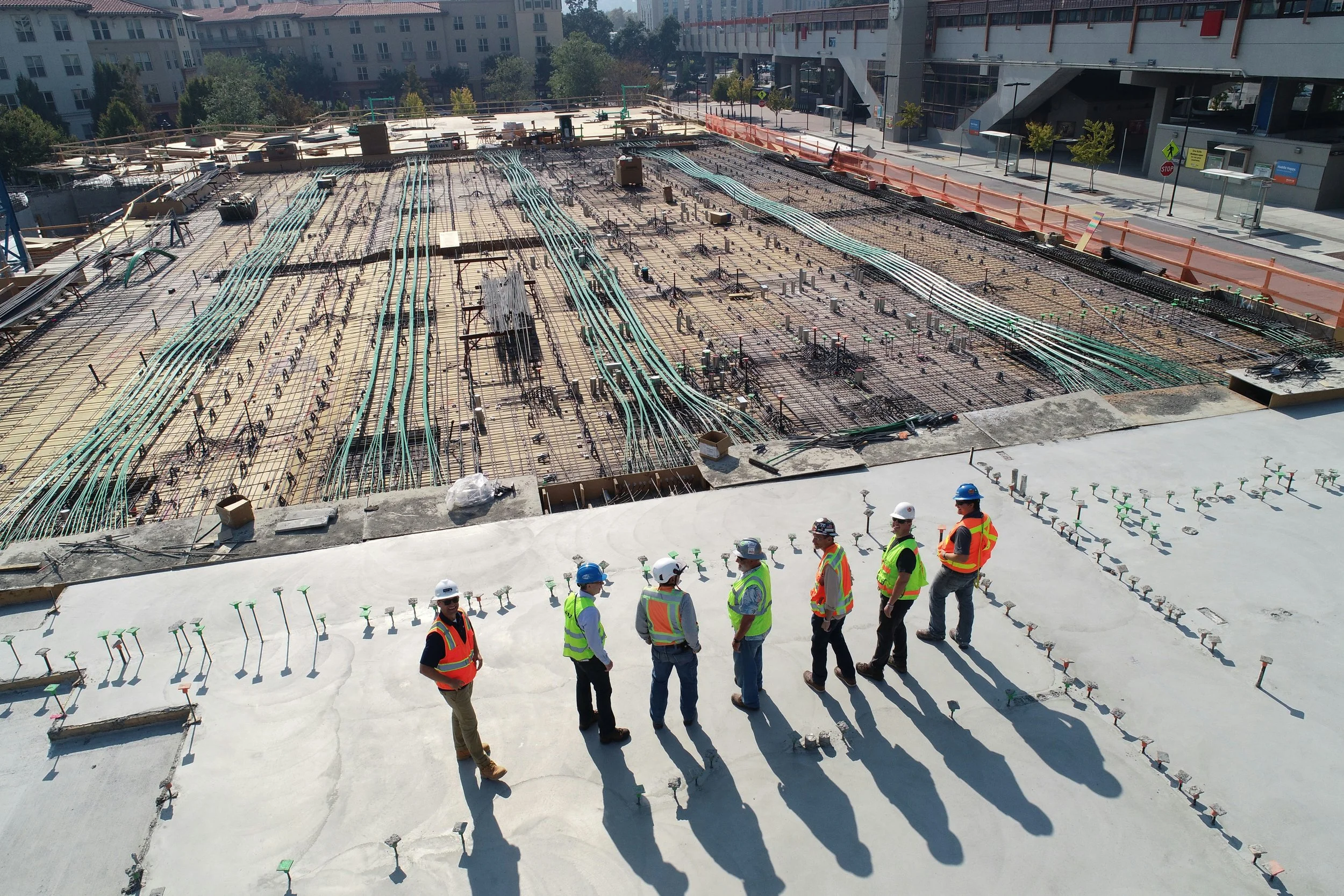

Our Surveying Services
We establish or verify property lines, easements, and rights-of-way to help owners, attorneys, and design teams clearly understand the limits of a site.

We map existing ground elevations, features, and site elements to create an accurate base map for design, grading, and drainage planning.

High-accuracy aerial data collection that produces detailed orthomosaics, surfaces, and 3D models for large sites, construction projects, and land development.

We document what was actually built in the field (e.g. structures, utilities, grades, and improvements) so you can verify compliance, close permits, and update record drawings.

CONTACT US |
CONTACT US |
CONTACT US |
CONTACT US | CONTACT US | CONTACT US |
Interested in partnering with Innovize Solutions for surveying? Share a few details about your project below and our team will reach out with next steps, pricing, and availability. The more information you provide, the more accurate and efficient our proposal will be.
““Innovize was easy to work with and very responsive. The deliverables were clear, organized, and actually usable by our design team. Everything was turned around quickly and without issues.””
“Good communication, solid turnaround, and clean deliverables. The work fit directly into our workflow and saved us time on the back end.””